Dal CAD al GIS: criticità nel riuso di legacy data archeologici
Abstract
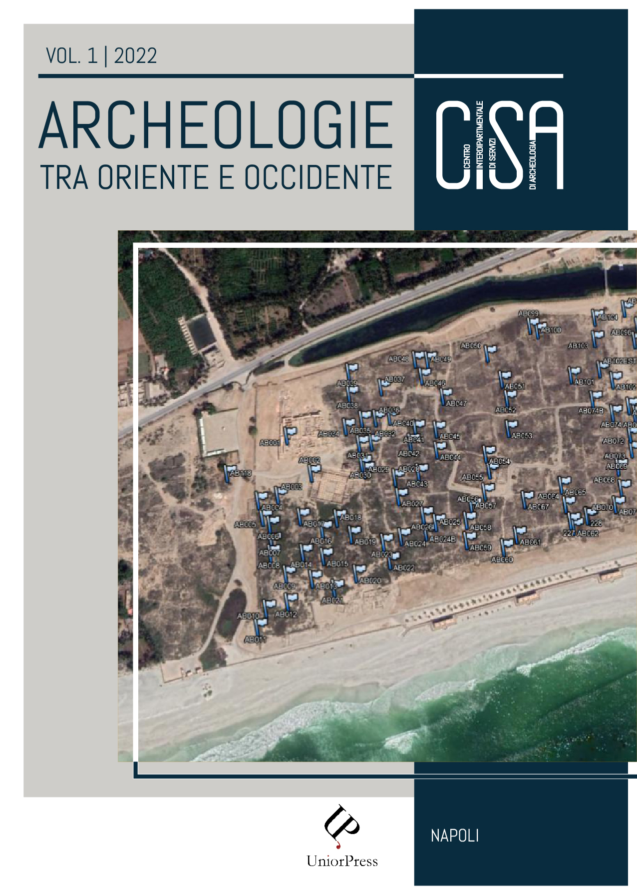
Da alcuni decenni gli archeologi creano direttamente planimetrie digitali in CAD o GIS. Questo approccio ha rivoluzionato la registrazione dei dati spaziali. Anche se le mappe registrate in CAD o GIS condividono una modalità comune di rappresentazione numerica organizzata in strati, la differenza tra i due sistemi risiede nell’associazione tra la geometria e le informazioni alfanumeriche a essa collegate e nella topologia. Pertanto, il riutilizzo dei dati CAD nei GIS non è un compito facile senza una riorganizzazione delle informazioni basata sulla costruzione di oggetti semantici, corrispondenti alle caratteristiche archeologiche reali. Molti strumenti sono stati sviluppati con l’obiettivo di convertire automaticamente i file CAD in formati GIS; ma, nonostante gli sforzi, i risultati fin qui ottenuti sono scarsamente significativi e la sfida è ancora aperta. Senza l’intervento diretto del ricercatore, questo passaggio rischia di generare dati incongruenti. Partendo da queste premesse, l’articolo esamina l’approccio seguito per organizzare e convertire le risorse cartografiche relative al sito di al-Balīd nel Sultanato dell’Oman. L’obiettivo è fornire una cornice metodologica per ancorare le strutture archeologiche esistenti e proporre un flusso di lavoro in grado di convertire i disegni CAD in file GIS.
Copyright (c) 2022 Andrea D'Andrea

This work is licensed under a Creative Commons Attribution 4.0 International License.
