
Building type classification using deep learning for transport planning
Abstract
The transportation and land use sectors are closely interdependent, and real-life circumstances often exhibit substantial reciprocal influences. Currently, efforts are being made to enhance transportation and land use sustainably; hence to achieve sustainability, it is necessary to have well-optimized plans and implementations for the advancements, which consequently leads to an increased demand for vast amounts of data. Conducting manual surveys to collect data on various types of buildings is considerably costly, requires much labor, and is time-consuming. Remote sensing technology has demonstrated significant promise to encompass a greater extent in a reduced timeframe, as well as to engage in thorough data collection and effectively manage and analyze the acquired data. This work centers on constructing a classification system that categorizes buildings depending on their use, specifically distinguishing between residential and non-residential structures. The classification challenge is accomplished through instance segmentation using the state-of-the-art YOLOV8 model architecture and remotely sensed images. The main objective of this project is to create base maps for travel analysis zones (TAZs) using identified buildings. To properly align the output images generated by the model, geographical data is appended to the output images derived from the original input images.
Downloads
References
Aamir, M., Pu, Y. F., Rahman, Z., Tahir, M., Naeem, H. & Dai, Q. (2018). A framework for automatic building detection from low-contrast satellite images. Symmetry, 11 (1), 3. https://doi.org/10.3390/sym11010003
Adams, D. & Tiesdell, S. (2012). Shaping places: Urban planning, design and development. Routledge. https://doi.org/10.4324/9780203105665
Agyemang, K. K., Amoako-Sakyi, R. O., Antwi, K. B., Mensah, C. A. & Abane, A. M. (2020). Transit-oriented development: Theory and implementation challenges in Ghana. TeMA - Journal of Land Use, Mobility and Environment, 13 (3), 409-425. https://doi.org/10.6092/1970-9870/6800
Aithal, B. H. & Ramachandra, T. V. (2016). Visualization of urban growth pattern in Chennai using geoinformatics and spatial metrics. Journal of the Indian Society of Remote Sensing, 44, 617-633. https://doi.org/10.1007/s12524-015-0535-0
Badrinarayanan, V., Kendall, A. & Cipolla, R. (2017). SegNet: A deep convolutional encoder-decoder architecture for image segmentation. IEEE Transactions on Pattern Analysis and Machine Intelligence, 39 (12), 2481-2495. https://doi.org/ 10.1109/TPAMI.2016.2644615
Bharath, H. A., Chandan, M. C., Vinay, S. & Ramachandra, T. V. (2017). Modelling the growth of two rapidly urbanizing Indian cities. Journal of Geomatics, 11 (12), 149-166.
Carpentieri, G. & Favo, F. (2017). The end-use electric energy consumption in urban areas: A GIS-based methodology. An application in the city of Naples. TeMA - Journal of Land Use, Mobility and Environment, 10 (2), 139-156. https://doi.org/10.6092/1970-9870/5173
Chen, C., Gong, W., Chen, Y. & Li, W. (2018). Learning a two-stage CNN model for multi-sized building detection in remote sensing images. Remote Sensing Letters, 10 (2), 103-110. https://doi.org/10.1080/2150704X.2018.1528398
Chen, X., Qiu, C., Guo, W., Yu, A., Tong, X. & Schmitt, M. (2022). Multiscale feature learning by transformer for building extraction from satellite images. IEEE Geoscience and Remote Sensing Letters, 19, 1-5. https://doi.org/10.1109/ LGRS.2022.3150085
Ducruet, C. & Lugo, I. (2013). Structure and dynamics of transportation networks: Models, methods and applications. In The SAGE handbook of transport studies, 347-364.
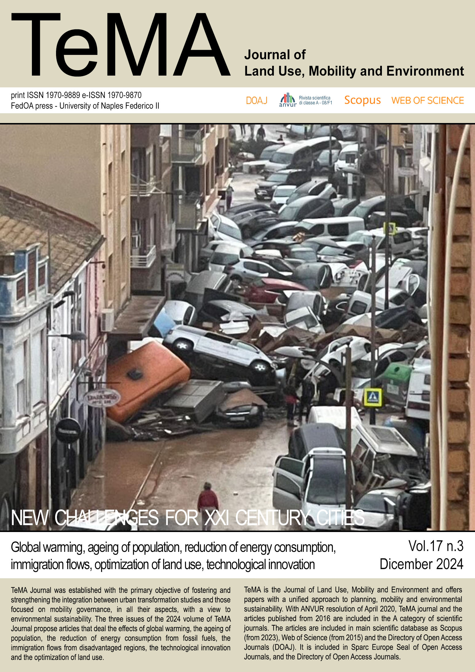
Galderisi, A., Guida, G. & Limongi, G. (2021). Emergency and spatial planning towards cooperative approaches. TeMA - Journal of Land Use, Mobility and Environment, 73-92. https://doi.org/10.6092/1970-9870/7466
Girshick, R. & Fast, R. C. N. N. (2015). Microsoft Research. Fast R-CNN, 27. https://doi.org/10.13140/RG.2.2.30558.38729
Gazzola, V., Menoni, S., Belloni, A. & Zuliani, C. (2021). Territorial aspects of emergency plans for dams. The case study of Lombardia Region. TeMA - Journal of Land Use, Mobility and Environment, 93-108. https://doi.org/10.6092/1970-9870/7467
He, K., Zhang, X., Ren, S. & Sun, J. (2015). Spatial pyramid pooling in deep convolutional networks for visual recognition. IEEE Transactions on Pattern Analysis and Machine Intelligence, 37 (9), 1904-1916. https://doi.org/10.1109/TPAMI. 2015.2389824
He, K., Zhang, X., Ren, S. & Sun, J. (2016). Deep residual learning for image recognition. In Proceedings of the IEEE Conference on Computer Vision and Pattern Recognition, 770-778. https://doi.org/10.1109/CVPR.2016.90
Ji, S., Wei, S. & Lu, M. (2018). Fully convolutional networks for multisource building extraction from an open aerial and satellite imagery data set. IEEE Transactions on Geoscience and Remote Sensing, 57 (1), 574-586. https://doi.org/ 10.1109/TGRS.2018.2859200
Jocher, G., Chaurasia, A. & Qiu, J. (2023). YOLO by Ultralytics (Version 8.0.0) [Computer software]. https://github.com/ultralytics/ultralytics
Khatua, A., Bhattacharya, A. & Aithal, B. H. (2024). Automated georeferencing and extraction of building footprints from remotely sensed imagery using deep learning. In GISTAM, 128-135.
Krizhevsky, A., Sutskever, I. & Hinton, G. E. (2017). ImageNet classification with deep convolutional neural networks. Communications of the ACM, 60 (6), 84-90. https://doi.org/10.1145/3065386
Levine, J. (2010). Zoned out: Regulation, markets, and choices in transportation and metropolitan land use. Routledge.
Li, J. & Cao, J. (2019). A framework for automatic building detection from low-contrast VHR satellite imagery. In Proceedings of the 3rd International Conference on Video and Image Processing, 52-56. https://doi.org/10.1145/3377325.3377329
Liu, W., Anguelov, D., Erhan, D., Szegedy, C., Reed, S., Fu, C. Y. & Berg, A. C. (2016). SSD: Single shot multibox detector. In Computer Vision-ECCV 2016, 21-37. Springer. https://doi.org/10.1007/978-3-319-46448-0_2
Madhumita, D., Bharath, H. A., Devendra, V. P. & Shivam, B. (2023). Road segmentation: Exploiting the efficiency of skip connections for efficient semantic segmentation. Journal of South Asian Logistics and Transport, 3 (1), 59-73. https://doi.org/10.4038/jsalt.v3i1.60
Moghaddam, S. H. M., Ameli, M., Rao, K. R. & Tiwari, G. (2022, November). Delineation of traffic analysis zone for public transportation OD matrix estimation based on socio-spatial practices. In The 4th Symposium on Management of Future Motorway and Urban Traffic Systems 2022 (MFTS2022).
Mirzahossein, H., Noferesti, V. & Jin, X. (2022). Residential development simulation based on learning by agent-based model. TeMA - Journal of Land Use, Mobility and Environment, 15 (2), 193-207. https://doi.org/10.6092/1970-9870/7435
Pavlidis, T. & Liow, Y. T. (1989). Integrating methodologies in image analysis. In Computer Vision and Shape Recognition, 429-437.
Prakash, P. S., Soni, J. & Bharath, H. A. (2022). Building extraction from remote sensing images using deep learning and transfer learning. In IGARSS 2022-2022 IEEE International Geoscience and Remote Sensing Symposium (pp. 3079-3082). IEEE. https://doi.org/10.1109/IGARSS46834.2022.9884704
Raju, S. R., Wajid, S., Radhakrishnan, N. & Mathew, S. (2020). Accessibility analysis for healthcare centers using gravity model and geospatial techniques. TeMA - Journal of Land Use, Mobility and Environment, 13 (1), 6-20. https://doi.org/ 10.6092/1970-9870/6860
Ramachandra, T. V., Aithal, B. H. & Sanna, D. D. (2012). Insights to urban dynamics through landscape spatial pattern analysis. International Journal of Applied Earth Observation and Geoinformation, 18, 329-343. https://doi.org/10.1016/j.jag.2012.01.017
Ramachandra, T. V., Bharath, A. H. & Sowmyashree, M. V. (2015). Monitoring urbanization and its implications in a mega city from space: Spatiotemporal patterns and its indicators. Journal of Environmental Management, 148, 67-81. https://doi.org/10.1016/j.jenvman.2014.03.015
Redmon, J., Divvala, S., Girshick, R. & Farhadi, A. (2016). You only look once: Unified, real-time object detection. In Proceedings of the IEEE Conference on Computer Vision and Pattern Recognition, 779-788. https://doi.org/10.1109/ CVPR.2016.91
Simonyan, K. & Zisserman, A. (2014). Very deep convolutional networks for large-scale image recognition. arXiv preprint arXiv:1409.1556. https://doi.org/10.48550/arXiv.1409.1556
Sirmacek, B. & Unsalan, C. (2008). Building detection from aerial images using invariant color features and shadow information. In 2008 23rd International Symposium on Computer and Information Sciences, 1-5. IEEE. https://doi.org/10.1109/ISCIS.2008.4717927
SpaceNet on Amazon Web Services (AWS). (2018). “Datasets.” The SpaceNet Catalog. https://spacenet.ai
Szegedy, C., Liu, W., Jia, Y., Sermanet, P., Reed, S., Anguelov, D., Erhan,D., Vanhoucke, V. & Rabinovich, A. (2015). Going deeper with convolutions. In Proceedings of the IEEE Conference on Computer Vision and Pattern Recognition, 1-9. https://doi.org/10.1109/CVPR.2015.7298594
Terven, J. & Cordova-Esparza, D. (2023). A comprehensive review of YOLO: From YOLOv1 and beyond. arXiv preprint arXiv:2304.00501. https://doi.org/10.48550/arXiv.2304.00501
Tira, M. (2021). Planning to prevent disasters. TeMA - Journal of Land Use, Mobility and Environment, 191-202. https://doi.org/10.6092/1970-9870/7468
Waloejo, B. S. (2020). The effect of commercial areas and industrial zone improvement on road service levels between city Surabaya-Sidoarjo. In 2nd International Symposium on Transportation Studies in Developing Countries (ISTSDC 2019), 31-35. Atlantis Press. https://doi.org/10.2991/aebmr.k.200220.007
Wang, H. & Miao, F. (2022). Building extraction from remote sensing images using deep residual U-Net. European Journal of Remote Sensing, 55 (1), 71-85. https://doi.org/10.1080/22797254.2022.2034778
Yang, B., Tian, Y., Wang, J., Hu, X. & An, S. (2022). How to improve urban transportation planning in big data era? A practice in the study of traffic analysis zone delineation. Transport Policy, 127, 1-14. https://doi.org/10.1016 /j.tranpol.2022.07.009
Yang, H. L., Yuan, J., Lunga, D., Laverdiere, M., Rose, A. & Bhaduri, B. (2018). Building extraction at scale using convolutional neural networks: Mapping of the United States. IEEE Journal of Selected Topics in Applied Earth Observations and Remote Sensing, 11 (8), 2600-2614. https://doi.org/10.1109/JSTARS.2018.2837673
Yap, J. Y., Omar, N. & Ismail, I. (2022). A study of traffic congestion influenced by the pattern of land use. In IOP Conference Series: Earth and Environmental Science (Vol. 1022, No. 1, p. 012035). IOP Publishing. https://doi.org/10.1088/ 1755-1315/1022/1/012035
You, J., Nedović‐Budić, Z. & Kim, T. J. (1998). A GIS‐based traffic analysis zone design: Technique. Transportation Planning and Technology, 21 (1-2), 45-68. https://doi.org/10.1080/03081069808717596
Zhang, N., Zhao, X., Liu, T., Lei, M., Wang, C. & Wang, Y. (2019). Layout planning of highway transportation environment monitoring network: The case of Xinjiang, China. Sustainability, 12 (1), 290. https://doi.org/10.3390/su12010290
Zullo, F., Paolinelli, G., Fiordigigli, V., Fiorini, L. & Romano, B. (2015). Urban development in Tuscany: Land uptake and landscapes changes. TeMA - Journal of Land Use, Mobility and Environment, 8 (2), 183-202. https://doi.org/10.6092/1970-9870/2864
Copyright (c) 2024 TeMA - Journal of Land Use, Mobility and Environment

This work is licensed under a Creative Commons Attribution 4.0 International License.
Authors who publish in this journal agree to the following:
1. Authors retain the rights to their work and give in to the journal the right of first publication of the work simultaneously licensed under a Creative Commons License - Attribution that allows others to share the work indicating the authorship and the initial publication in this journal.
2. Authors can adhere to other agreements of non-exclusive license for the distribution of the published version of the work (ex. To deposit it in an institutional repository or to publish it in a monography), provided to indicate that the document was first published in this journal.
3. Authors can distribute their work online (ex. In institutional repositories or in their website) prior to and during the submission process, as it can lead to productive exchanges and it can increase the quotations of the published work (See The Effect of Open Access)