
Ocho ojos y una ciudad: Burgos a través la cartografía durante la Guerra de la Independencia
Abstract
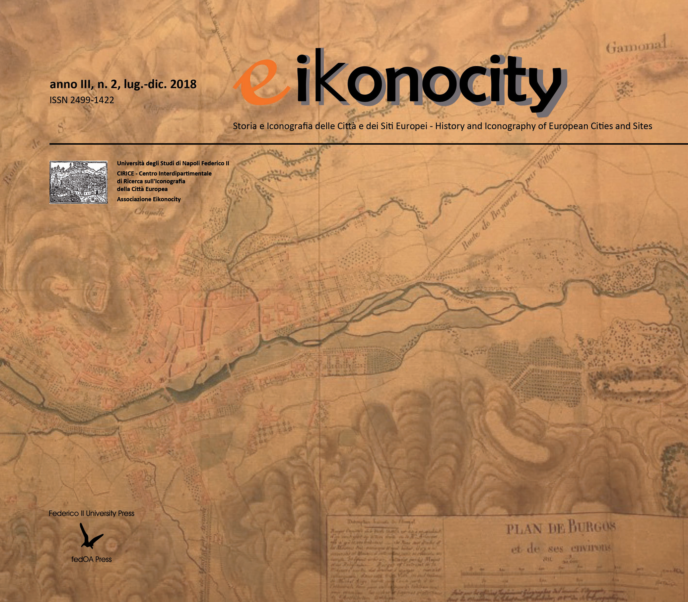
The Independence War that took place in Spain during 1808 and 1813, originated a complex development of branches of knowledge related to the war, among which it was the science of cartography. Through the production of maps from different points of interest for the troops, we can understand the evolution of techniques used by different armies as well as their mentalities about the cities. This last point must be comprehended from the point of view that any map made over the territory is a subjective projected image, that only reflects this one of interest for its creator. In the case of Burgos, one of the key point of Spain for Napoleón Bonaparte, we have different mental projections of the city during the conflict, something very exceptional. Four versions that make us see the city as they thought it was, according to their particular interests.
Downloads
Copyright (c) 2018 Barbara Martin Polo

This work is licensed under a Creative Commons Attribution 4.0 International License.
Eikonocity pubblica in internet, ad accesso aperto, con licenza:
|
|
CCPL Creative Commons Attribuzione 4.0 |
L'autore conserva il copyright sul suo contributo, consentendo tuttavia a chiunque "di riprodurre, distribuire, comunicare al pubblico, esporre in pubblico, rappresentare, eseguire e recitare l'opera", purché siano correttamente citati l'autore e il titolo della rivista. L’autore, al momento della proposta di pubblicazione, è inoltre tenuto a dichiarare che il contenuto e l’organizzazione dell’opera è originale e non compromette in alcun modo i diritti di terzi, né gli obblighi connessi alla salvaguardia di diritti morali ed economici di altri autori o di altri aventi diritto, sia per testi, immagini, foto, tabelle, sia per altre parti di cui il contributo può essere composto. L’autore dichiara altresì di essere a conoscenza delle sanzioni previste dal codice penale e dalle leggi speciali per l’ipotesi di falsità in atti ed uso di atti falsi, e che pertanto Eikonocity è esente da qualsiasi responsabilità di qualsivoglia natura, civile, amministrativa o penale, e sarà dall'autore tenuta indenne da qualsiasi richiesta o rivendicazione da parte di terzi.
